
How much fresh water is there in New York?
Where does NYC get most of its water? New York City gets most of its water from a system of reservoirs located in the Catskill and Delaware watersheds, situated to the north and northwest of the city. These reservoirs collect and store freshwater that is then treated and distributed to meet the water needs of the city’s residents and businesses. The water supply system is managed by the New York City Department of Environmental Protection (DEP), and it plays a crucial role in providing clean and reliable water to the millions of people in the metropolitan area.
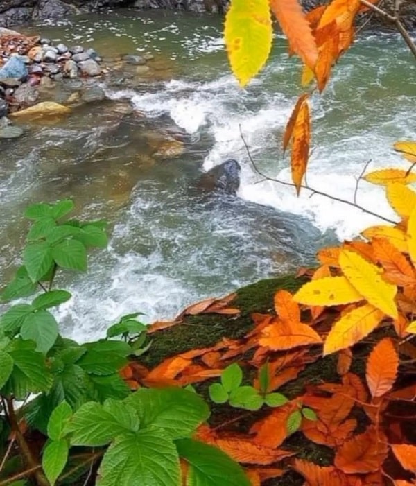
The availability of fresh water in New York varies, and it depends on several factors, including natural water sources, precipitation, and human water management practices. New York State is generally well-endowed with freshwater resources, including lakes, rivers, and groundwater.
Some key points about the freshwater resources in New York include:
- Great Lakes: New York shares borders with two of the Great Lakes, namely Lake Erie and Lake Ontario. These lakes are significant freshwater sources for the state.
- Rivers: New York has numerous rivers, including the Hudson River, Mohawk River, Genesee River, and many others, providing additional freshwater resources.
- Groundwater: Groundwater is another important source of fresh water in the state. Aquifers beneath the surface contribute to the availability of water for various uses.
- Precipitation: The state receives a moderate amount of precipitation, which replenishes surface water sources and contributes to groundwater recharge.
- Reservoirs: New York City, in particular, relies on a system of reservoirs that collect and store freshwater for the city’s water supply. The reservoirs are part of the larger watershed that includes areas in upstate New York.
It’s important to note that while New York State has abundant freshwater resources, local conditions, including population density, water demand, and climate variations, can affect the availability of freshwater in specific regions.
For the most accurate and up-to-date information on water availability in a specific area of New York, it’s recommended to consult local water authorities, environmental agencies, or the New York State Department of Environmental Conservation. They can provide detailed insights into the current status of freshwater resources and any potential water management challenges in specific regions.
Where are New York’s freshwater rivers located?
New York State is home to numerous freshwater rivers that crisscross its landscape. Some of the major rivers in New York include:
- Hudson River: One of the most iconic rivers in the state, the Hudson River flows southward from the Adirondack Mountains to the New York Harbor. It passes through the eastern part of the state, including the capital city of Albany.
- Mohawk River: The Mohawk River is a major tributary of the Hudson River, originating in the central part of the state and flowing eastward. It converges with the Hudson River near the city of Cohoes.
- Genesee River: Originating in Pennsylvania, the Genesee River flows northward into New York, passing through the city of Rochester and emptying into Lake Ontario.
- Delaware River: The Delaware River forms part of the southeastern border between New York and Pennsylvania. It flows southeastward and eventually empties into the Delaware Bay.
- Susquehanna River: While the Susquehanna River primarily flows through Pennsylvania, it also briefly touches the southern border of New York before heading into Maryland. The river is an essential part of the Chesapeake Bay watershed.
- Allegheny River: Originating in Pennsylvania, the Allegheny River flows southwestward into New York, where it joins the Monongahela River to form the Ohio River.
- Oswego River: Flowing from Oneida Lake to Lake Ontario, the Oswego River is an important waterway in central New York.
- Saint Lawrence River: While the Saint Lawrence River is more associated with the northern border of the United States and Canada, a portion of it runs along the northern border of New York, separating the state from Ontario, Canada.
These are just a few examples, and there are many smaller rivers and tributaries throughout the state. New York’s rivers play a crucial role in the state’s geography, providing water resources, transportation routes, and ecosystems for diverse flora and fauna.
Is there any freshwater in New York?
Yes, New York has abundant freshwater resources. The state is endowed with various water bodies, including lakes, rivers, and groundwater sources. Notable freshwater features in New York include the Great Lakes (Lake Erie and Lake Ontario), major rivers such as the Hudson River and Mohawk River, numerous lakes, and an extensive network of streams and creeks.
New York City, in particular, relies on a system of reservoirs in the Catskill and Delaware watersheds, located to the north and northwest of the city, to supply its freshwater needs. These reservoirs collect and store water from precipitation and runoff, providing a crucial source of clean water for the city’s residents.
In summary, New York State is rich in freshwater resources, and these water bodies play a vital role in supporting various ecological, recreational, and municipal needs across the state.
What are the major bodies of water in New York
New York State is home to a diverse array of bodies of water, including lakes, rivers, bays, and reservoirs. Here are some of the major bodies of water in New York:
- Great Lakes:
- Lake Erie (forms part of the western border with Canada)
- Lake Ontario (forms part of the northern border with Canada)
- Major Rivers:
- Hudson River (flows south to north through eastern New York)
- Mohawk River (flows east to join the Hudson River)
- Genesee River (flows north into Lake Ontario)
- Lakes:
- Oneida Lake
- Seneca Lake (one of the Finger Lakes)
- Cayuga Lake (one of the Finger Lakes)
- Champlain Lake (extends into the northeastern part of the state)
- Long Island Sound:
- Separates Long Island from Connecticut and forms part of the southern border of New York.
- Finger Lakes:
- A group of long, narrow lakes in the central part of the state, including Cayuga Lake, Seneca Lake, Keuka Lake, and others.
- Adirondack Lakes:
- Numerous lakes are scattered throughout the Adirondack Mountains in northern New York.
- Reservoirs:
- Various reservoirs in the Catskill and Delaware watersheds, including Ashokan Reservoir, Cannonsville Reservoir, and Pepacton Reservoir, supplying water to New York City.
- Niagara River:
- Connects Lake Erie to Lake Ontario, and includes the famous Niagara Falls.
These are just a few examples, and there are many other smaller lakes, rivers, and water bodies throughout the state. The diversity of New York’s water features contributes to the state’s ecological richness and provides resources for both recreation and water supply.
What are the two major rivers in new york city
The two major rivers that surround and define the geography of New York City are the Hudson River and the East River.
- Hudson River:
- The Hudson River flows southward from its source in the Adirondack Mountains, passing through eastern New York. It is a major river that runs along the western edge of Manhattan and forms part of the boundary between New York and New Jersey.
- East River:
- The East River is a tidal strait that flows between Manhattan and the Bronx to the north and Brooklyn and Queens to the south. Despite its name, the East River is not a river but a tidal estuary, connecting Long Island Sound to the Upper New York Bay.
These two waterways are critical to the city’s geography, transportation, and commerce. They contribute to the unique character and layout of the boroughs, providing both practical and aesthetic significance to New York City.


